NORTH CAROLINA
– A prolonged stretch of wet weather continues to drench North Carolina this July, with scattered thunderstorms,
flash flooding risks
, and tropical moisture making their mark across the state. Forecasters are urging residents to stay alert, as conditions remain unstable through early next week.
Heavy Rain, Humid Air Fuel More Summer Storms
The
Piedmont Triad region
and surrounding areas have been experiencing daily storms fueled by a combination of high humidity, upper-level wind shear, and summer heat. Temperatures in the 90s are helping trigger
scattered thunderstorms
, many of which bring torrential downpours capable of overwhelming storm drains and creeks.
The most recent storms turned
severe in parts of the Foothills and Northern Piedmont
on Friday, but the ongoing concern is flash flooding from repeated rain events. Meteorologists are closely watching patterns each day to warn communities in the storm path.
Localized Flooding a Daily Threat Across the State
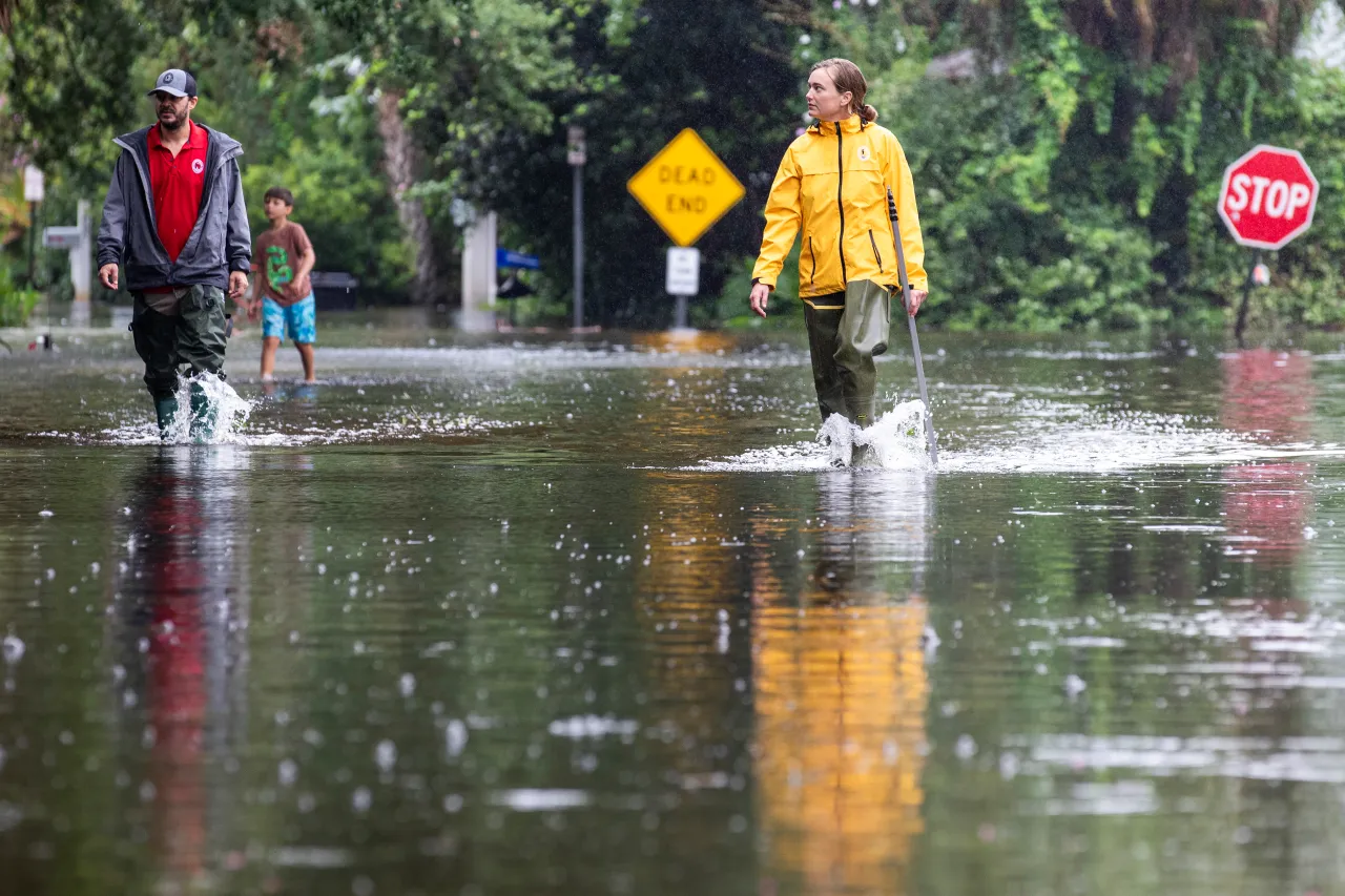
According to WXII 12 News, flash flooding has already hit
Alamance, Surry, Stokes, and Guilford counties
earlier this week. Heavy rainfall totals in recent days have pushed water levels above seasonal averages, especially in
Greensboro, Burlington, and Mount Airy
.
The National Weather Service warns that
even isolated storms
may cause sudden flooding due to already-saturated ground conditions. Afternoon and evening hours remain the most dangerous timeframes for intense rainfall and flash flood potential.
Why This Weather Pattern Is So Persistent
Meteorologists say a
zonal weather pattern
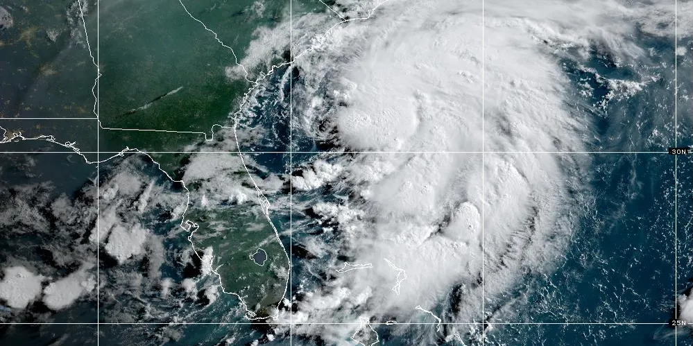
is currently locking the Southeast into a west-to-east storm flow. High pressure near the Atlantic is feeding
tropical moisture
into the Carolinas, and stalled fronts to the north are helping trap the humidity.
This combination is expected to sustain the soggy setup, with the potential for multiple rain events every day through Monday. Some relief could come mid-week if the high-pressure ridge shifts and breaks the current flow.
Tropical Moisture from the Gulf Could Worsen Conditions
Looking ahead, forecasters are monitoring a
low-pressure system near Louisiana
that may drift eastward and feed even more moisture into North Carolina’s atmosphere. While the system is not expected to become a tropical storm, its remnants could
enhance rainfall intensity
by the weekend.
The added humidity from the Gulf could increase the risk of
flooding in low-lying and urban areas
, particularly if it coincides with ongoing storms.
What Residents Should Do Now
Flash flooding can occur in
minutes
, often with little warning. Officials are reminding residents to:
-
Enable emergency alerts
on mobile devices -
Keep
NOAA Weather Radios
turned on overnight - Avoid flooded roads, especially during active storm periods
-
Monitor
local weather updates
regularly
It’s also crucial to keep
vehicles gassed up
and
emergency kits
stocked, especially in areas prone to flooding or creek overflow.
Have you experienced flooding or storm impacts in your neighborhood this July? Share your story or tips in the comments — your voice helps others stay safe and prepared.


