Columbia, S.C.Tropical Storm Fernand became the sixth named storm of the 2025 Atlantic hurricane season this past weekend, marking yet another significant milestone.
According to meteorologists, Fernand formed on Saturday afternoon and is currently moving north across the Atlantic. Although neither South Carolina nor the U.S. East Coast are anticipated to be impacted, the system may intensify before waning later next week.
Storm Path and Strength
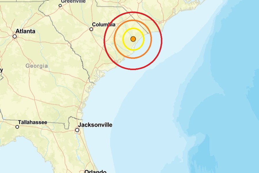
According to the National Hurricane Center’s most recent update, Fernand was traveling north at 15 mph and was roughly 420 miles south-southeast of Bermuda.
At the moment, the storm is exhibiting sustained 40 mph winds with 50 mph gusts. By Monday, Fernand could become a powerful tropical storm with gusts close to 70 mph, according to forecasters, before waning in the middle of the week.
As the system moves close to the Canadian Maritimes on Wednesday, it is anticipated to change into a post-tropical low.
Bermuda and U.S. Coast Not Threatened
Because Fernand’s predicted route keeps it east of Bermuda, forecasters stressed that there are no hurricane or tropical storm watches in effect for the island. The storm is predicted to stay in the open Atlantic and not threaten the East Coast of the United States.
Hurricane Season Nearing Peak
Fernand’s creation highlights what experts refer to as the hurricane season’s climatological peak, which usually occurs around September 10. Late August and early September have historically been the busiest times of the year.
Several named systems have already been formed this year’s Atlantic season, which is indicative of the usual increase in activity at this time of year.
As the season progresses, residents in the Carolinas are urged to remain vigilant about the weather and to share their community preparations for possible storms. Visit SaludaStandard-Sentinel.com to join the discussion.