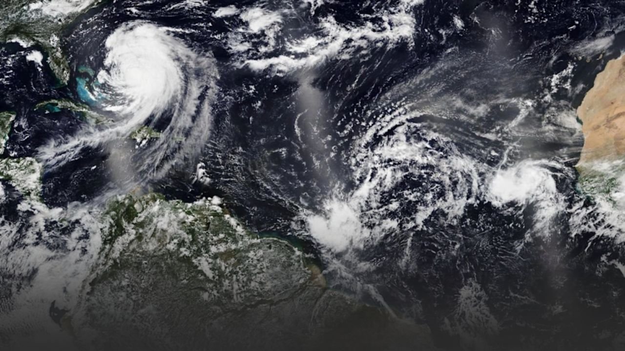
Winston-Salem, North Carolina.Within a few days, Tropical Storm Erin is expected to become the first significant hurricane of the 2025 Atlantic season as it continues to move westward across the open Atlantic, according to WXII 12 News. Meteorologists and emergency planners throughout the Caribbean and the southeast United States have been keeping a closer eye on the storm, which began earlier this week and has been getting stronger as it passes over warm waters.
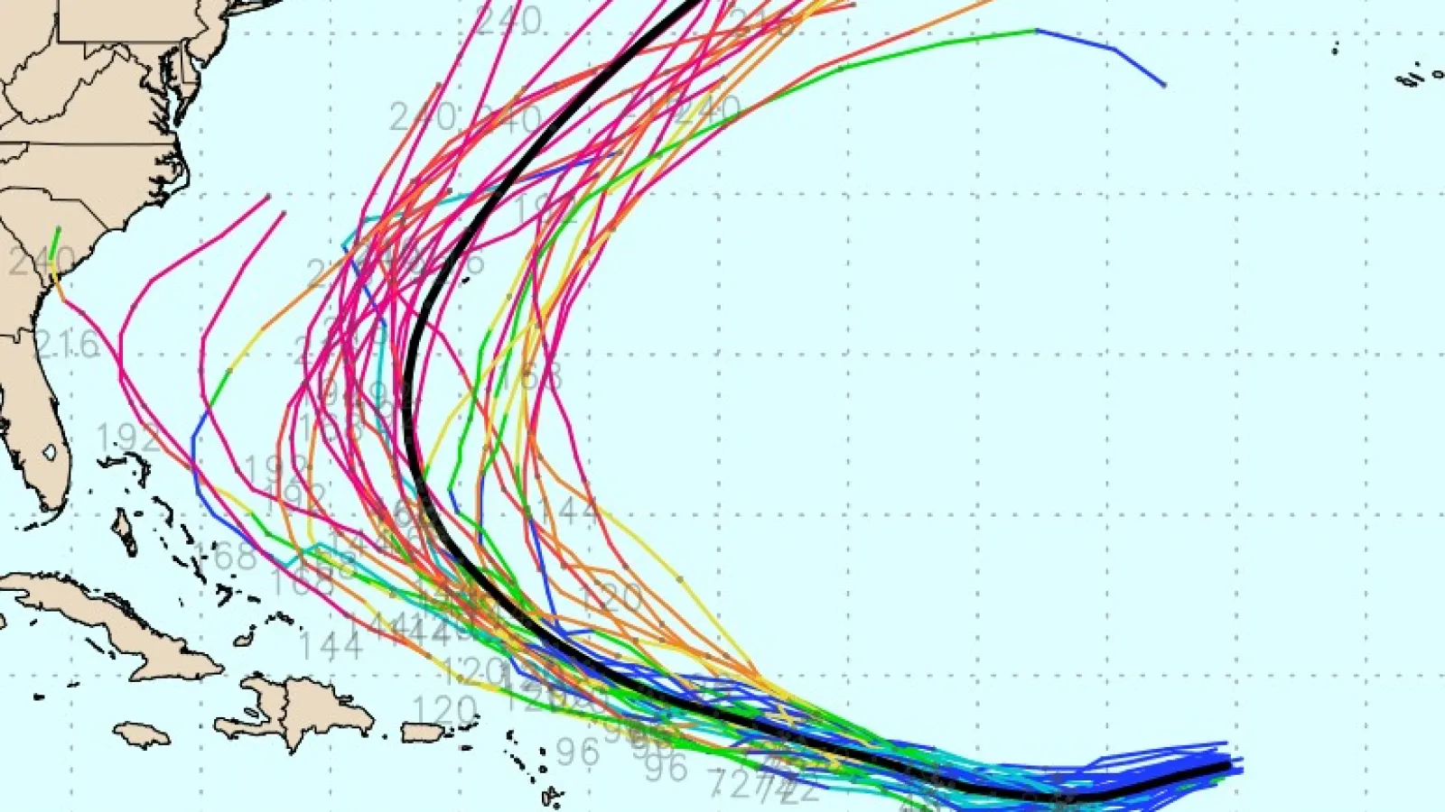
Erin is currently almost 2,400 miles from the coast of North Carolina and is moving in the direction of the northern Caribbean Islands. The exact path it will take later this week is still unknown, but forecast models currently indicate it will pass north of Puerto Rico as well as the U.S. and British Virgin Islands. Erin may curve toward Bermuda or follow a course that puts it closer to the Southeast U.S. shoreline, depending on changes in steering winds.
Strengthening Likely in Coming Days
Erin is passing in an area that is favorable for intensification, according to the National Hurricane Center. Wind shear is predicted to stay mild to moderate through Thursday, and sea surface temperatures along its path are significantly above the threshold for hurricane development. Storm organization and wind speed will probably steadily increase as a result of these circumstances.
Meteorologists caution that Erin may undergo rapid intensification by the end of the week, which may cause it to reach Category 3 strength with sustained winds of more than 115 mph. With the potential to remain a major hurricane for a few days, Erin would become the strongest storm of the 2025 Atlantic hurricane season thus far.
It is still unclear exactly when the storm is expected to shift north. While an earlier turn would lead Erin more into the open Atlantic, a delayed turn might bring it closer to the mainland United States.
Possible Impacts Across the Region
Although there are presently no warnings from Erin for the United States, areas of the northern Caribbean may experience indirect effects as early as this weekend, such as enhanced rip currents, outer rain bands, and swells. Even if the storm’s center stays offshore, the Virgin Islands and Puerto Rico’s coastal regions may encounter choppy seas.
Additionally, Bermuda is still a possible worry if Erin’s route turns north at the appropriate time. Long-range tropical predictions can change dramatically in a matter of days, so residents in the Caribbean and along the U.S. East Coast are advised to stay vigilant about forecast updates for the time being.
Other Tropical Systems Under Watch
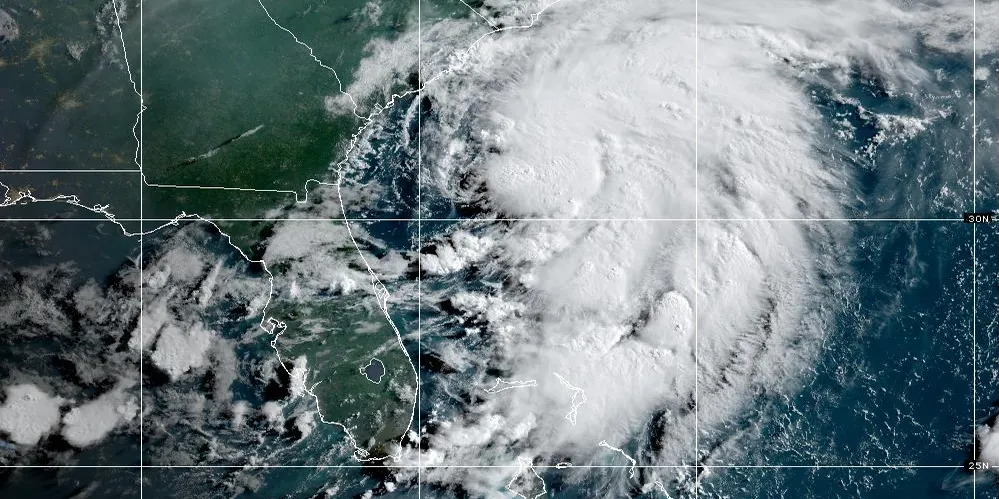
Although much of the emphasis is focused on Erin, meteorologists are also keeping an eye on two other possible growth areas. With little probability of becoming a named storm, a wide region of disrupted weather around Honduras and Nicaragua is expected to proceed across the Yucatan Peninsula in the northwest Caribbean Sea. Further north, as it moves across the Gulf Stream, a region of showers and thunderstorms southeast of Nova Scotia may form for a short time, although it will probably swiftly wane as it moves into cooler waters.
Preparedness Is Key
Forecasters stress that mid-August is the peak of hurricane season, when Atlantic conditions are most conducive to storm formation, even though Erin’s future course is still unknown. Residents of coastal areas from the Caribbean to the Carolinas should take advantage of this opportunity to check their disaster supply kits, review emergency plans, and make sure they have many ways to get official weather alerts.
Are you getting ready for storm season’s height?Post your ideas, stories, or advice on being ready atSaludaStandard-Sentinel.com.


