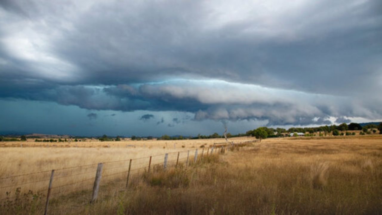
Columbia, S.C.Following her early-morning impact near Litchfield Beach, South Carolina, Tropical Storm Chantal lost intensity and was reduced to a tropical depression on Sunday, July 6. Even while the storm is waning, the area is still at serious risk from rip currents, hazardous surf, and flooding.
Landfall and Immediate Impacts
Around 4 a.m., Chantal made ashore with sustained winds of around 35 mph and stronger gusts, according to the National Hurricane Center. Tracking north at roughly 9 mph toward eastern North Carolina, it had slowed to a depression by midmorning.
Forecasters cautioned that the system may still produce 2 to 4 inches of rain, with up to 6 inches possible in certain places. High tides and storm surge were predicted to cause coastal flooding in low-lying areas.
Life-threatening surf and rip currents are expected to continue from Florida’s coastline through the Carolinas far into next week, the NHC warned.
Broader Coastal Risks
Chantal’s impact goes well beyond its core.Communities from Savannah, Georgia, to Jacksonville, Florida, may be affected by dangerous rip currents and choppy surf, according to AccuWeathermeteorologists. Areas east of the landfall zone were vulnerable to localized structural damage, power outages, and tree damage, even though the storm’s greatest winds were still offshore.
Seasonal Context
The 2025 Atlantic hurricane season, which started on June 1 and ends on November 30, has had three named storms, including Chantal. Following Tropical Storms Andrea and Barry in June, it signaled the beginning of an active season. Hurricane activity typically peaks between mid-August and mid-October.
How Tropical Storms Form
Over warm tropical waters, usually exceeding 80 degrees Fahrenheit, hurricanes and tropical storms form. Thunderstorm groups have the potential to develop into tropical depressions and, if winds reach 39 mph, into officially recognized tropical storms. A system is considered a hurricane if sustained winds reach 74 mph or higher.
Safety Precautions Urged
Emergency officials ask locals to stay alert as Chantal continues to deteriorate. The NOAA suggests:
-
Prepare disaster supplies
food, water, medicine, and other essentials for storm impact and recovery. -
Check insurance coverage
especially flood insurance, which requires a 30-day waiting period. -
Plan evacuation routes
and identify a safe meeting location outside your community. -
Fortify your home
trim trees, seal wall openings, and install storm protection.
Residents in the storm’s path are encouraged to keep an eye on local officials’ and the National Hurricane Center’s updates as it advances farther onshore.
Have you had any damage from Chantal or flooding?To keep our community informed and ready, tell the Saluda Standard-Sentinel about your experience.