NORTH CAROLINA
— A
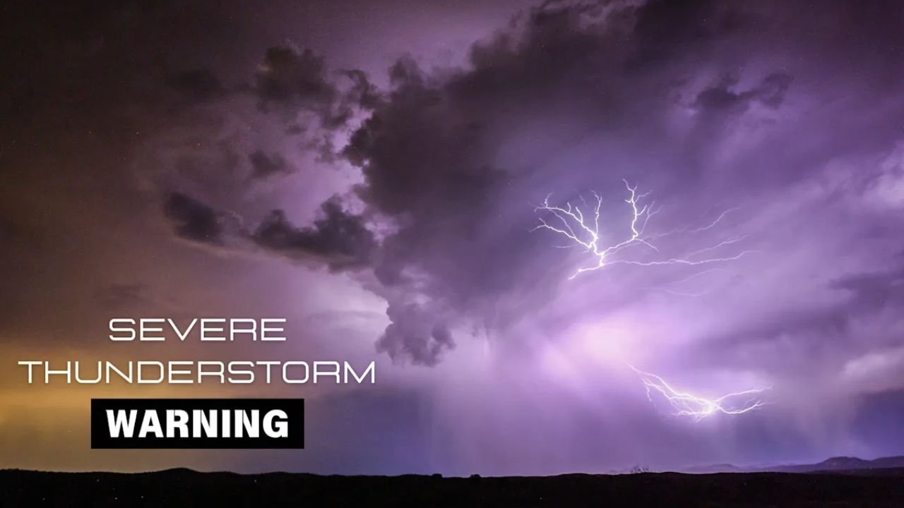
severe thunderstorm warning
issued for portions of western North Carolina expired at
3:15 p.m. Tuesday
, but authorities continue to urge residents to remain cautious as storm-related hazards persist across the region.
The
National Weather Service
(NWS) in Greenville-Spartanburg first issued the alert around
2:31 p.m.
, targeting mountain areas such as
Caldwell, Burke, and McDowell Counties
, along with
Avery County
. The system brought
pea-sized hail
,
40 mph wind gusts
, and
torrential rainfall
, leading to
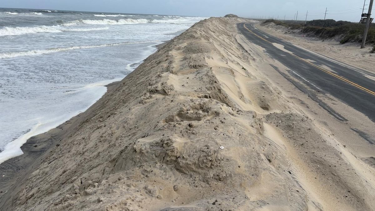
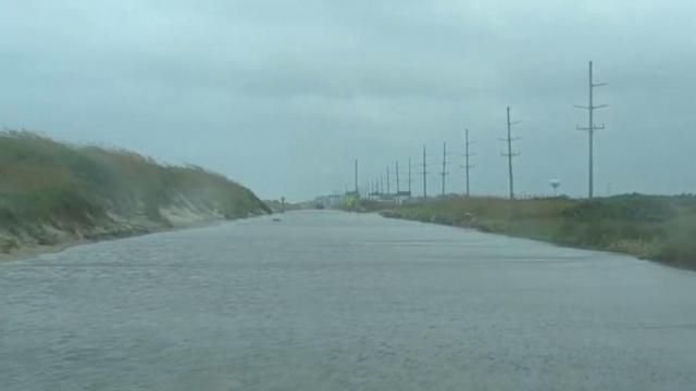
localized flooding concerns
.
“At 2:31 p.m., Doppler radar tracked a strong thunderstorm 5 miles south of Newland, or near Crossnore. This storm was nearly stationary,” the NWS stated.
Hazardous Conditions in High Elevation Areas
Communities affected included
Sugar Mountain, Grandfather Mountain State Park, Linville Falls
, and
Altamont
. The storm prompted officials to warn drivers and residents to avoid flooded roads and to prepare for continued rainfall, which may persist even after the official alert has ended.
“Gusty winds could knock down tree limbs and blow around unsecured objects,” the NWS warned. “Minor hail damage to outdoor objects is possible.”
How to Stay Safe During Thunderstorms
With
lightning strikes occurring roughly 25 million times each year
in the U.S. — causing about
20 deaths annually
— it’s critical to take precautions during active thunderstorms.
If outdoors:
- Seek shelter immediately if thunder is audible.
- Avoid tall trees, open fields, and isolated hills.
- Space out if in a group to reduce lightning transfer risk.
- Stay away from water and metal objects.
If indoors:
- Avoid using corded phones, electrical appliances, and plumbing.
- Stay away from doors and windows.
-
Remain inside for
at least 30 minutes after the last lightning
.
Driving in Heavy Rain: What to Know
The storms brought
dangerous road conditions
, especially in mountain regions. The NWS advises:
-
Turn on
headlights
, even during the day. -
Drive in
middle lanes
on higher ground to avoid pooling water. -
Stay away from
puddles
and
flooded zones
. - Maintain distance from large trucks and buses that may reduce visibility.
Understanding Hydroplaning
Hydroplaning occurs when a vehicle
loses contact with the road due to standing water
, causing the driver to skid uncontrollably. It’s caused by:
-
Speeding
on wet roads -
Deep water
accumulation -
Worn tire treads
If your vehicle begins to hydroplane:
-
Ease off the gas
gently. -
Steer into the skid
to realign with the road. -
Do not brake hard
— especially in vehicles without anti-lock brakes.
Looking Ahead
Though the immediate thunderstorm warning has ended, residents are advised to
stay weather-aware
and monitor local updates, especially with more rainfall forecasted this week. Emergency services remain on alert in western mountain areas, and flooding could worsen with additional storms.
For ongoing weather alerts and safety tips, visit the
National Weather Service
or check local emergency management offices.
Have you experienced flooding or storm-related damage in your area?
Share your story or weather photos with us at
SaludaStandard-Sentinel.com
.