LOUISVILLE, KY
— Thunderstorms will blanket the Ohio Valley region this weekend, bringing with them a heightened risk of
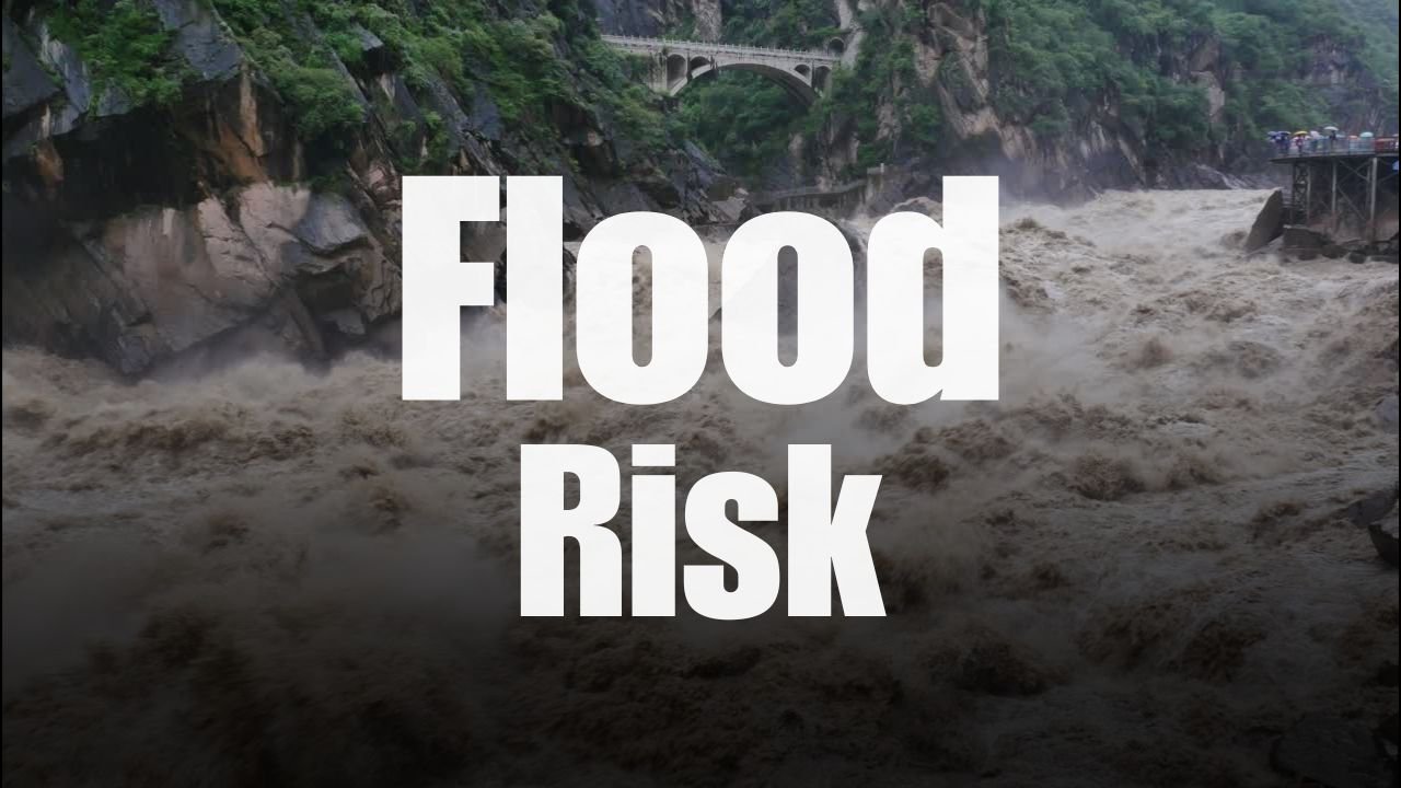
flash flooding and minor river overflow
from eastern Illinois to eastern Kentucky, forecasters say.
Heavy Rainfall Expected Through Monday
Meteorologists at the
National Weather Service Ohio River Forecast Center
are closely monitoring a system of
repeated thunderstorms
that could lead to
1 to 2 inches of rain
in many areas — and possibly more in isolated pockets.
The outlook, released Saturday, highlights a
48-hour precipitation threat
with
humid air fueling storm activity
through early Monday morning. The rainfall is expected to be widespread and intense, particularly in
urban and low-lying areas
where flooding is already a concern.
River Levels Rising in Illinois and Indiana
As of Saturday morning,
river gauges in both Illinois and Indiana
were reportedly nearing
action stage levels
, signaling the potential for
minor river flooding
if additional storms materialize as predicted.
Flooding concerns are
especially high in communities with saturated soil
, where even modest additional rain could result in overflow. These areas are advised to watch for rapid changes in creek or river levels.
Emergency Agencies Urge Caution
Local emergency management officials throughout the Ohio Valley are advising residents to:
-
Avoid driving through flooded roads
-
Monitor real-time local forecasts
-
Prepare emergency kits
if living in flood-prone zones -
Remain weather-aware, especially
overnight
, when rising water may go unnoticed
“These systems can overwhelm small rivers and creeks quickly,” one emergency weather advisor said, noting that
smaller waterways are just as dangerous
during flash flood events.
Travelers Should Be Alert
This alert also poses a warning to
weekend travelers
, especially those visiting areas along
interstate corridors and rural highways
that may cross vulnerable terrain. With
riverbanks rising and runoff increasing
, visibility and road safety could change rapidly.
The National Weather Service urges travelers and residents alike to
plan routes with safety in mind
and prepare to
adjust travel schedules
if necessary.
Have You Experienced Flash Flooding in the Ohio Valley?
We want to hear how you’re preparing.
Have recent storms impacted your travel or neighborhood?
Share your experiences and insights in the comments to help others stay safe. Visit
SaludaStandard-Sentinel.com
for more real-time updates.


