NORTH CAROLINA
— A
flash flood warning
remains in effect for northwest North Carolina through late Thursday night as slow-moving thunderstorms threaten to overwhelm streams, creeks, and roadways across the region.
According to the
National Weather Service in Blacksburg
, heavy rain and storm activity are expected to build throughout the evening, especially west of Interstate 77 and across the Blue Ridge foothills. Forecasters warn that some storms may
train
over the same areas repeatedly, dramatically increasing the flash flood risk.
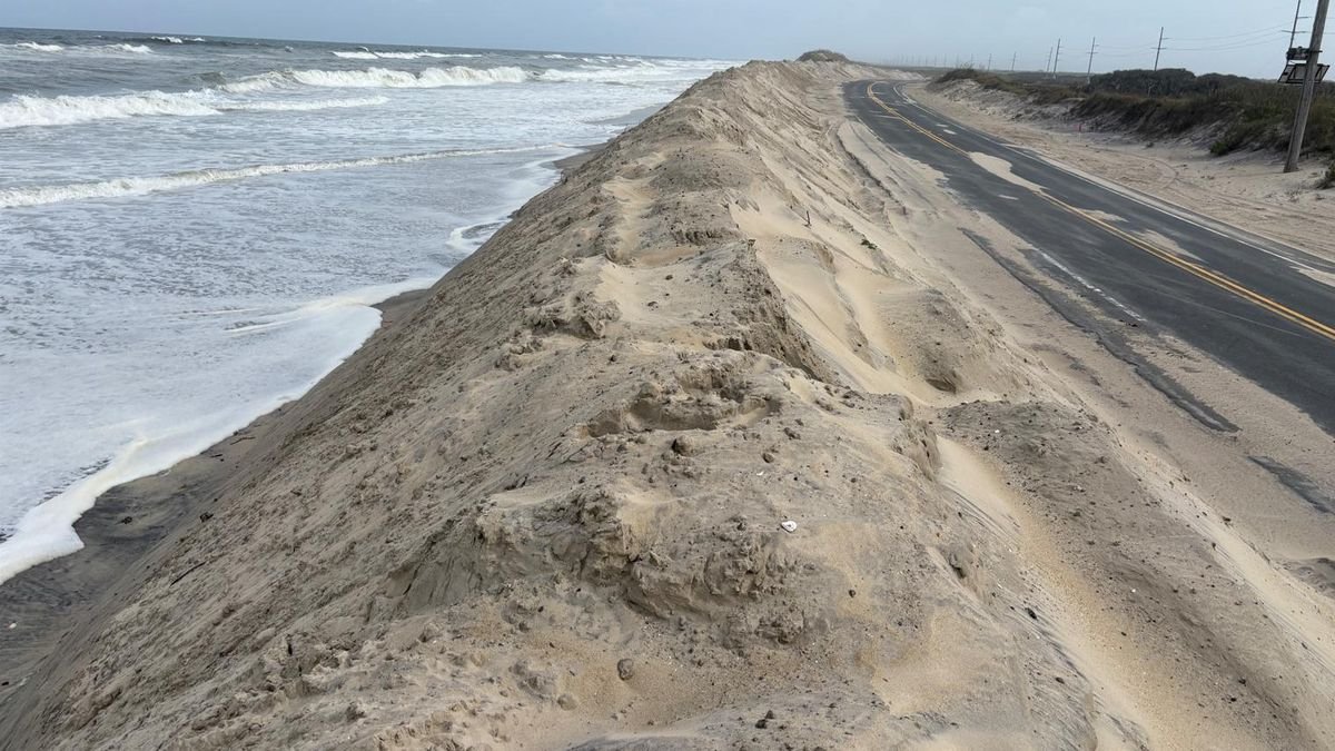
Key Risk Zones Include Mount Airy and Foothill Communities
Communities from
Mount Airy, North Carolina
, to
Galax and Hillsville, Virginia
, are urged to remain vigilant. Urban areas and low-lying terrain are particularly at risk, with local creeks and drainage systems likely to overflow.
The threat level has been designated
moderate
, meaning
life-threatening flooding
is possible in isolated areas. Water can cover roads within minutes in affected zones, especially those near rivers and under-maintained drainage routes.
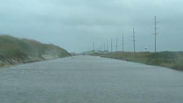
Safety Measures Urged for Residents and Travelers
Officials are urging all residents and travelers to monitor alerts and stay updated with multiple sources for emergency instructions. If flooding is observed or warnings are issued, immediate evacuation to higher ground is advised.
Never attempt to drive through floodwaters
, as even a few inches of fast-moving water can sweep away vehicles.
Evening travelers should
expect potential road closures
and plan alternate routes accordingly.
What Happens Next?
Although the storm system may weaken late tonight, flash flooding could still occur without much warning. Authorities caution that additional
flash flood advisories or warnings
may be issued with little notice as ground saturation increases and drainage systems struggle to keep up.
Have you been affected by flooding in the North Carolina foothills? Share your experience in the comments on SaludaStandard-Sentinel.com. Your input helps keep others informed.