BILLINGS, MONTANA
— The National Weather Service has issued a severe weather alert for northeast Montana, where a fast-moving storm system is forecasted to bring
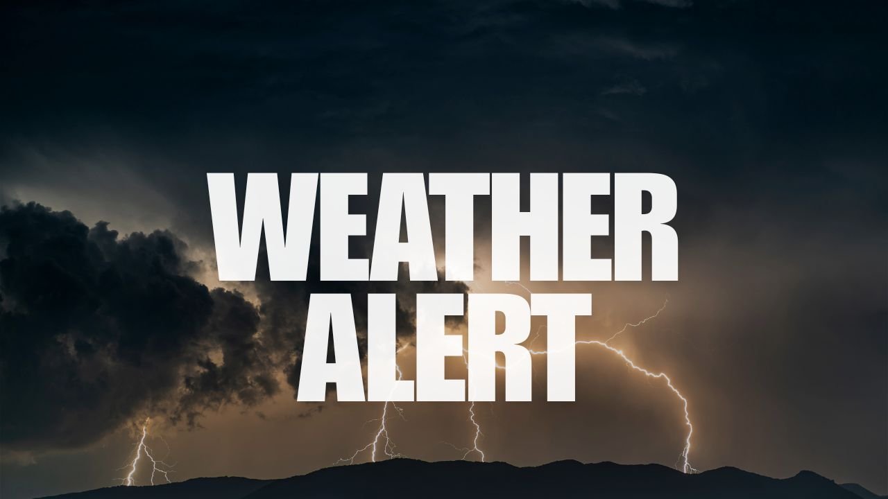
powerful thunderstorms, damaging winds, and hail
beginning Thursday evening.
According to the National Weather Service in Billings,
storms are expected to form between 8 p.m. Thursday and 2 a.m. Friday
, fueled by a disturbance moving southeast out of Canada.
Counties at Elevated Risk
The most vulnerable areas include
Richland, Dawson, and Wibaux counties
, all under a Level 2 risk zone for severe weather. Communities in and around
Jordan, Glendive, and Baker
may face the worst conditions, including:
-
Wind gusts up to 60 miles per hour
-
Quarter-sized hail
-
Sudden downpours and localized flooding
-
Possible power outages
While
Billings
and neighboring areas may see isolated storm activity, forecasters are focusing on the
northeastern corridor of the state
as the primary zone for severe conditions.
Travel Hazards and Safety Measures
Authorities strongly advise against
overnight travel on U.S. Highway 2 and Interstate 94
, where visibility could drop quickly and wet roadways may become hazardous.
In preparation, residents are urged to:
-
Secure outdoor items
that could become dangerous projectiles in high winds -
Identify safe indoor shelters
in case warnings are upgraded -
Keep multiple alert systems active
(radio, phone, weather apps) for real-time updates
“Now is the time to finalize preparations,” the Weather Service emphasized, warning that
storm activity will likely intensify after sundown
, increasing risk for overnight impacts.
Storm Updates and Further Warnings
Meteorologists say the evolving nature of the storm system could prompt additional alerts. The current
severe weather warning remains in effect through early Friday morning
, but
changes are possible depending on how the storm tracks and develops overnight
.
For the most recent developments, residents should monitor updates from the
NWS Billings
and local emergency management.
Have you experienced severe weather in Montana before?
Share your storm prep tips or photos from tonight’s weather in the comments section at
SaludaStandard-Sentinel.com
.


