As it moves deeper into the Atlantic, Hurricane Erin has fallen to a Category 1 storm, but its wide wind field is still creating hazardous conditions along the U.S. coast.
According to the National Hurricane Center, Erin was roughly 400 miles south of Nova Scotia as of Friday morning. Coastal regions from the Carolinas to New England are still under flood and surf alerts due to the storm’s enormous reach, despite its distance.
Coastal Flooding and High Surf Advisories
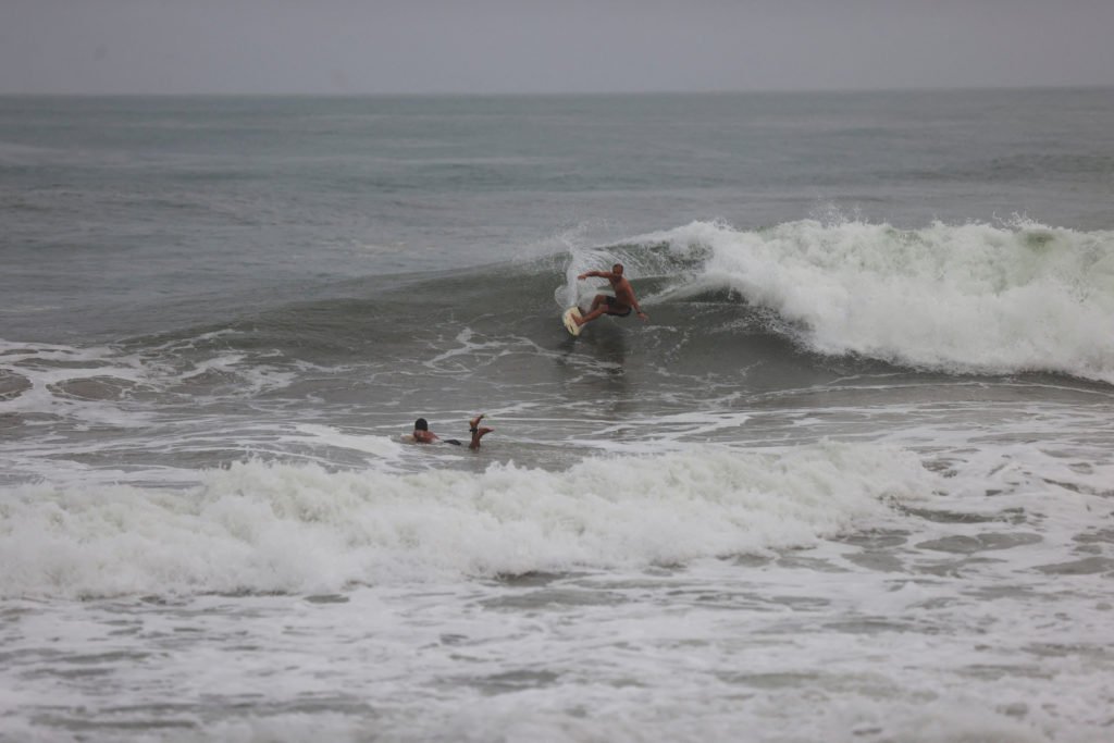
From the Carolinas through Long Island and into Maine, authorities issued warnings of 1 to 2 feet of flooding in low-lying regions during high tide. Much of the East Coast has seen beach erosion and choppy waves due to the storm’s extensive wind field, which stretches more than 400 miles from its center.
Waves in coastal New England might be as high as 15 feet on Saturday. Beaches in New York City, the Jersey Shore, and the Outer Banks may experience waves as high as ten feet elsewhere.
Rip Current Risks Remain High
Rip current risks will continue to be high over the weekend, even after Erin leaves port. Because of the potentially fatal conditions, officials are asking beachgoers to refrain from swimming in the impacted locations.
The National Weather Service has issued ongoing advisories for several states, warning that vulnerable towns may see a worsening of coastal erosion.
Storm Expected to Transition
Erin will probably become a post-tropical system late Friday or early Saturday, according to meteorologists. Even if the storm’s direct effects on the United States have lessened, coastal areas will still be affected by its aftereffects.
We invite readers in the East Coast and Southeast to share their experiences with Hurricane Erin’s floods and surf conditions. Go to SaltudaStandard-Sentinel.com to continue the conversation.