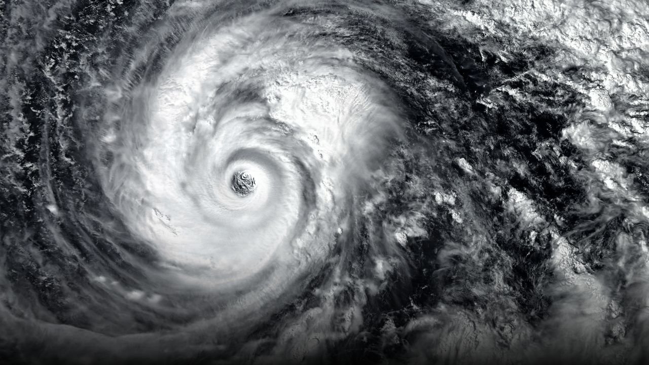
ORLANDO, FL.The National Hurricane Center reports that Hurricane Erin has strengthened into a Category 4 storm with sustained winds of 130 mph. Florida’s Atlantic coastline is prepared for potentially fatal surf, rip currents, and dangerous boating conditions through Thursday, even though the storm is predicted to remain well offshore.
Storm Details
Erin’s enormous wind field is driving swells into Florida’s eastern coasts, although it is now traveling west-northwest at around 20 mph over open waters. The system’s maximum sustained winds have increased to Category 4 strength, according to forecasters, with gusts of above 130 mph.
Beginning Monday, the Melbourne National Weather Service has issued advisories warning of severe rip currents along all local beaches, with surf expected to intensify until midweek.
Coastal Impacts
-
Surf Height
: 7 to 8 feet expected north of Cape Canaveral by Tuesday and peaking into Thursday. -
Offshore Seas
: Forecast to reach
9 to 12 feet
, creating treacherous conditions for mariners. -
Erosion Risk
: Officials warn of
minor beach and dune erosion
, especially in vulnerable stretches of the coastline.
Residents should pay close attention to cautions in case Erin moves closer to shore, boaters should cancel non-essential trips, and swimmers should avoid the surf, according to local emergency officials.
Preparedness and Advisories
Forecasters warn that Erin’s path could alter even if no direct landfall is anticipated. Watches and warnings can be extended if the storm moves closer to Florida.
NWS forecasts stated that Erin’s effects are genuine and deadly even in the absence of landfall. As the storm peaks, there will be an increased risk of rip currents and high seas.
The National Hurricane Center and local disaster management organizations encourage residents to be informed about changing forecasts.
Are you getting ready for Hurricane I?
Erin? Post beach reports and storm preparation tales in the comments section atSaludaStandard-Sentinel.com.


