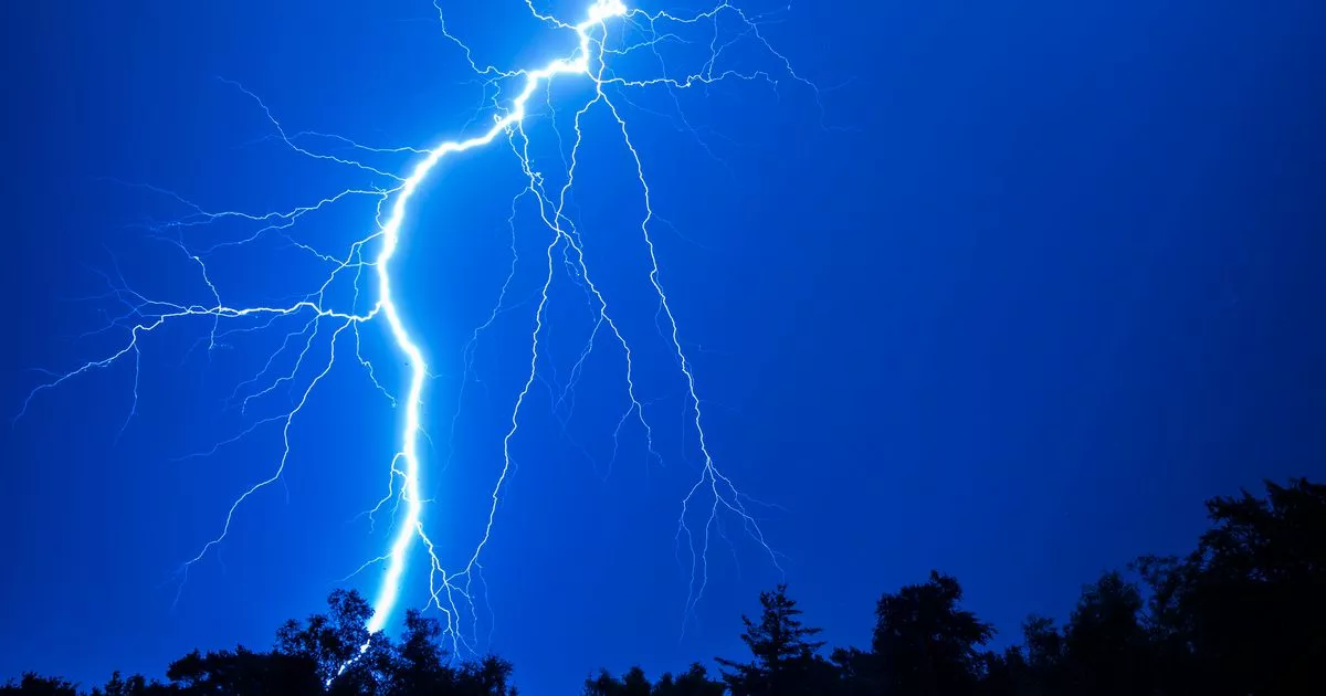
Spokane, Washington.Forecasters predict that a period of dry and hotter weather will replace the stormy skies that woke residents of eastern Washington to showers and thunderstorms early Saturday morning. The National Weather Service said that there was a 60% probability of storms overnight, with the possibility of more intense rain and lightning until the activity slowed down into the afternoon.
Saturday s Stormy Start
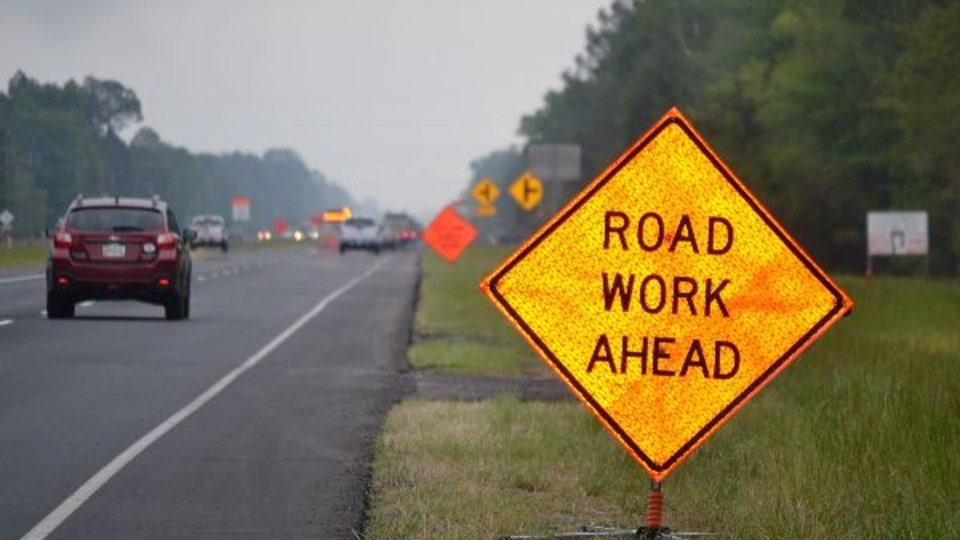
Before morning, the system moved into Spokane County and the adjacent areas, bringing with it sporadic downpours that momentarily obscured key roads, such as Interstate 90. Even though the majority of the rainfall was modest, larger storms caused slick roads and delays for early drivers, and winds reached 21 mph.
As the atmosphere stabilizes, meteorologists predict that storms will subside by late morning, leaving behind breezy weather. There won’t be any significant flooding, but showers might last a little while longer in valleys and along the foothills.
Drying Out and Warming Up
With highs of about 84 degrees Fahrenheit by Sunday, the skies clear, which is a nice change for outdoor activities and late-summer leisure. A wide ridge of high pressure will form over the Pacific Northwest, locking in a warming trend that will persist well into next week, according to Country Herald Weather.
Highs during the day will gradually rise:
-
Monday Wednesday:
Mostly sunny, highs between
86 90 F
. -
Late Week:
Temperatures likely reaching the
low 90s
, the hottest stretch Spokane has seen in weeks. -
Overnight Lows:
Mid to upper 50s, offering some overnight relief from daytime heat.
Community Impact
There were early travel concerns on Saturday due to the brief showers. Authorities advised drivers to exercise caution, particularly on I-90 and secondary rural routes where the chance of accidents was increased by wet pavement and strong gusts. Although organizers welcomed the prospect of clear skies by the afternoon, the tense morning also caused some farmers markets and outdoor youth sports events to be postponed.
The greater worry for the future is heat. Extended warm spells can put a strain on local agriculture, especially on eastern Washington’s irrigated crops that rely on effective water utilization. Farmers are getting their irrigation systems ready for another long dry spell as rain is predicted to be sparse after Saturday.
In the meanwhile, Spokane public health officials are advising citizens to be mindful of heat safety. Heat exhaustion can strike without warning when temperatures reach the 90s, according to a Friday caution from the Spokane Regional Health District. It is advised to restrict intense outdoor activities during the hottest afternoon hours, stay hydrated, and take shaded breaks.
Five-Day Forecast for Spokane
-
Saturday:
Showers and thunderstorms likely before noon. Breezy with gusts up to 21 mph. High near 80 F. -
Sunday:
Sunny, high near 84 F. Low around 56 F. -
Monday:
Mostly sunny, high near 86 F. Low near 58 F. -
Tuesday:
Sunny, high near 90 F. Low near 59 F. -
Wednesday:
Sunny, high near 87 F. Low near 56 F.
Did the storms on Saturday affect your plans in Spokane? How are you getting ready for the heat next week? Post your opinions in the SaludaStandard-Sentinel.com comments section.
