NORTH CAROLINA
— A severe weather alert was issued late Friday night as
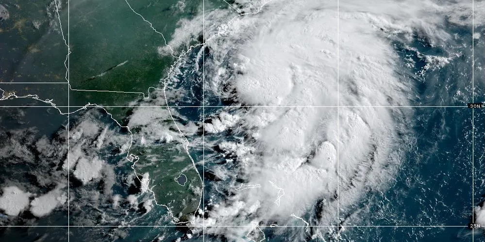
strong thunderstorms
moved across several Eastern North Carolina counties, bringing
intense lightning
,
heavy rainfall
, and the risk of
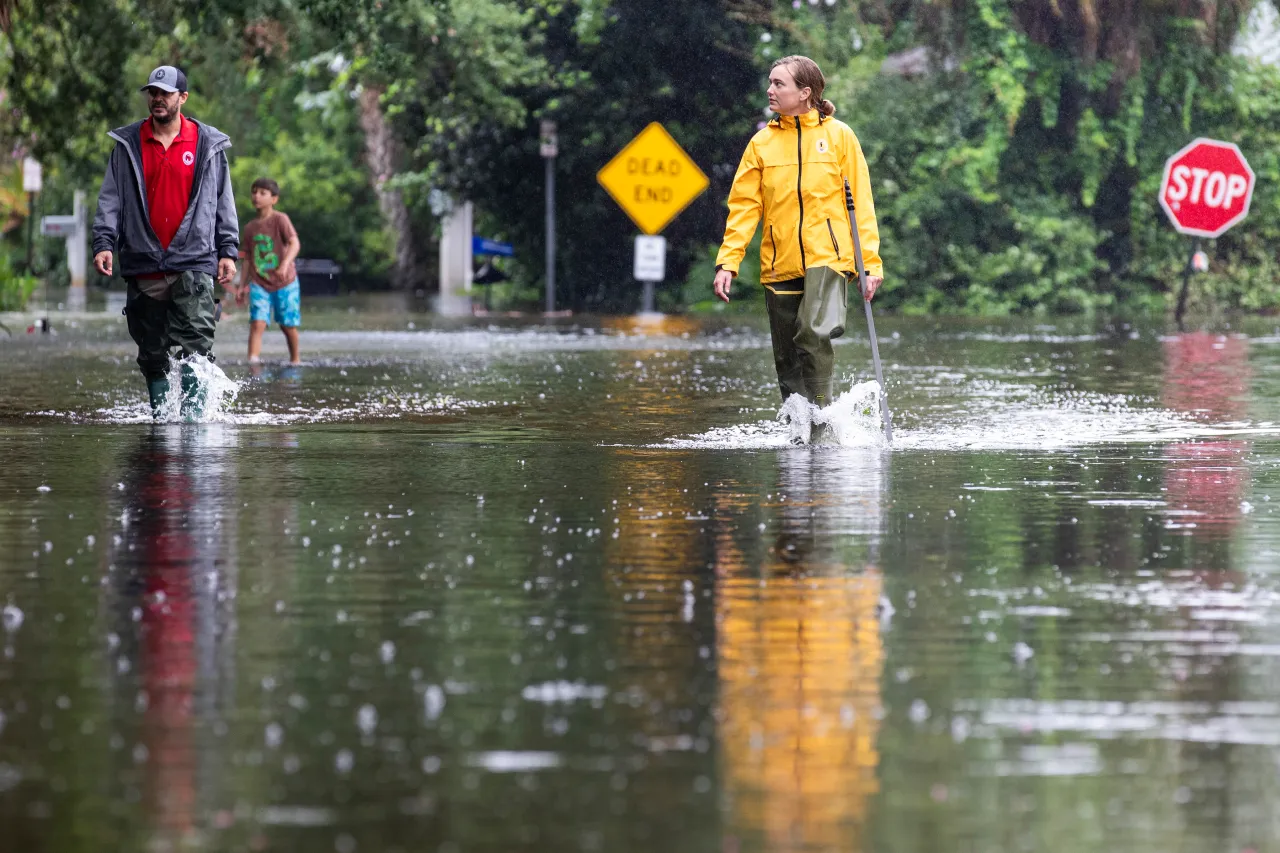
localized flooding
.
The
National Weather Service in Wakefield, Virginia
, issued the alert at
11 p.m.
, stating that storms would continue until at least
11:45 p.m.
, affecting
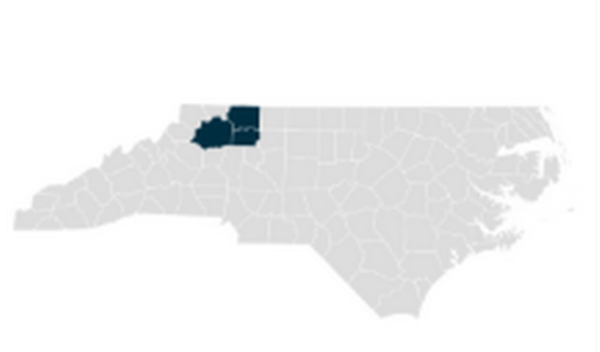
Hertford, Gates, Pasquotank, Camden, Chowan, and Perquimans counties
. These storms were moving southeast at 15 mph, and radar showed them stretching from
Whaleyville
to
Tyner
, with
frequent cloud-to-ground lightning strikes
and
reduced visibility
.
Counties and Cities Affected
The storm’s path included a long list of cities and towns:
-
Edenton
-
Hertford
-
Winfall
-
Sunbury
-
Ryland
-
Chesapeake
-
Suffolk
-
Snug Harbor
-
Whaleyville
-
Arrowhead Beach
-
Peach
-
Saint Johns
…and several others in the alert zone.
What the NWS Advises
According to the
Charlotte Observer
, the
NWS strongly recommends seeking indoor shelter
during the storm and avoiding flooded roadways. Lightning strikes can occur
up to 10 miles
from a storm’s center, increasing the danger even after the rain stops.
Tips to stay safe during lightning:
- Head indoors at the first sound of thunder.
- Avoid using corded electronics or plumbing during a storm.
-
Wait
30 minutes after the last thunder
before going back outside.
Driving in Heavy Rain? Here’s What to Do
The alert also included
advice for motorists
dealing with heavy rain and slick road conditions:
-
Turn on your
headlights
for visibility. -
Stick to
middle lanes
and
higher ground
. -
Avoid puddles
and
flooded roadways
— hydroplaning is a serious risk. -
Do not tailgate
trucks or buses that may kick up water spray.
Understanding Hydroplaning
Hydroplaning
happens when tires lose traction due to a thin layer of water, causing the vehicle to skid. The main risk factors include:
If your vehicle begins to hydroplane:
- Ease off the gas
- Steer into the skid
- Wait until tires regain contact with the road
- Brake gently, especially if you don’t have anti-lock brakes
Looking Ahead
The alert officially ended at
11:45 p.m.
, but residents are reminded to remain vigilant for
overnight storms and possible flash flooding
into the weekend. Always check local advisories for the latest updates from the
National Weather Service
.
Stay Informed:
For more local weather updates and safety tips, visit
SaludaStandard-Sentinel.com
.
