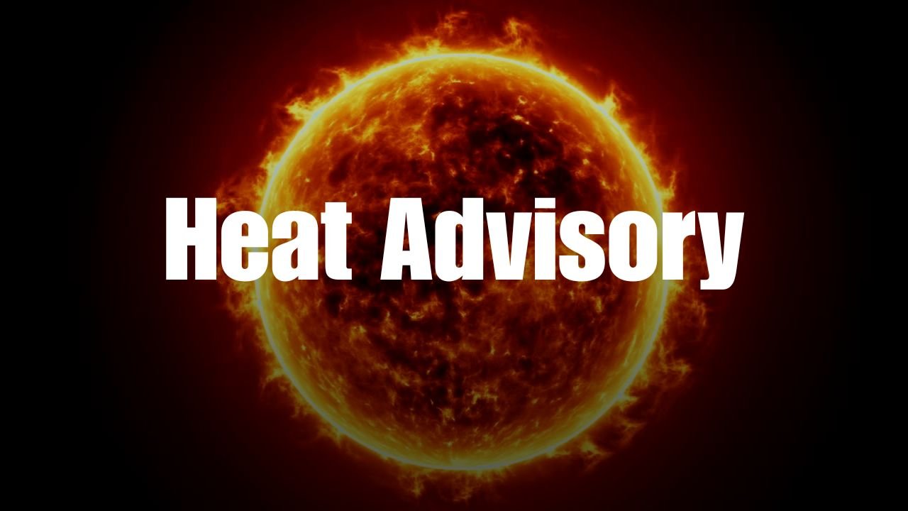
Columbia, S.C.As the Columbia region continues to experience terrible heat, with heat index values as high as 114 throughout the early part of the week, a weather impact alert is still in effect throughout the Midlands.
Extreme Heat Through Thursday
The WLTX Weather Team predicts that Monday’s real temperatures will surpass 100 degrees, with the feel-like temperature possibly reaching 110 degrees. Between 11 a.m. and 8 p.m., the heat is predicted to be at its worst.
An extreme heat warning is in effect for portions of the Lowcountry and Pee Dee regions, and the National Weather Service (NWS) has issued a heat advisory for the Columbia area through 8 p.m. Monday.
What to Expect
-
Highs above 100 F
-
Heat index values up to 114 F
-
Afternoon storms possible
-
Elevated risk of heat-related illness
Triple-digit heat index readings are expected to continue over central South Carolina through Thursday, according to the WLTX forecast.
Safety Reminders for Residents
Local authorities advise citizens to:
-
Stay indoors during peak heat
-
Use air conditioning or visit cooling centers
-
Hydrate frequently
-
Check on elderly neighbors and pets
It is also recommended that parents keep their kids indoors during the warmest hours of the day and never leave them in a car alone.
Rain Chances Return Midweek
More widespread showers and storms are anticipated later in the week, even if Monday might bring isolated afternoon thunderstorms. By the weekend, a cold front might move into the area, providing some respite from the intense heat.
In Columbia or the neighboring counties, how are you handling the heat? To keep your neighbors safe and informed, share pictures, advice, or concerns atsaludastandard-sentinel.com.


