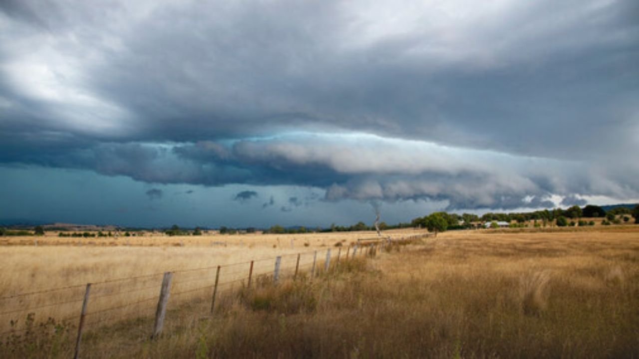
Bahamas, NassauOvernight, a strong tropical storm that brought seas above 35 feet and winds of 30 to 40 knots pounded the Bahamas. Conditions will continue to be life-threatening for beachgoers and seafarers through Thursday, according to the National Hurricane Center.
However, this storm is not unique. Tropical Storm Erin hit North Carolina earlier this week, causing severe rip currents along the Outer Banks and winds of up to 45 mph. Erin’s lower danger profile—no tornadoes or catastrophic flooding were reported—highlights the Atlantic tropical systems’ widespread reach during peak season.
The Bahamas: Severe Marine Impacts
The strongest waves from the storm reached a height of about 35 feet, endangering commercial vessels and leaving fishing fleets stranded in Abaco, Freeport, and Nassau. Ferry services have been halted, and ports are still closed.
According to authorities:
-
Street flooding
in Nassau neighborhoods. -
Power line damage
in Freeport. -
Flight delays and cancellations
as crosswinds disrupted travel.
Seas will continue to be rough, keeping beaches closed over the weekend, even if winds are predicted to lessen Thursday night.
North Carolina s Erin: Different Hazards
Erin’s danger in North Carolina, on the other hand, was less serious but nonetheless disruptive. The Newport/Morehead City National Weather Service reported persistent winds of 20 to 30 mph with gusts as high as 45 mph, which is sufficient to topple tree branches and result in isolated power outages.
Erin’s main risks were as follows:
-
Rough surf and rip currents
along the Outer Banks. -
Scattered rainfall
with little flash flooding risk. -
Travel concerns
due to debris on rural roads.
Erin went offshore by Thursday afternoon, sparing the area from significant damage but leaving behind residual rip currents.
Atlantic Basin Storm Picture
When combined, these two systems demonstrate the significant regional variations in tropical storms:
-
Bahamas:
Exposed directly to deep Atlantic swells, making wave heights more extreme and dangerous for maritime trade. -
North Carolina:
Experienced strong winds and dangerous surf, but inland impacts were minimized.
The back-to-back incidents this week demonstrate how unpredictable late-summer tropical activity can be, as storms have the potential to simultaneously threaten the U.S. mainland and Caribbean islands.
Safety Guidance
Authorities advise:
-
Bahamians to
stay indoors
until seas fall below 15 feet by Thursday night. -
North Carolina residents to continue
avoiding surf zones
due to lingering rip currents. -
Mariners to
remain docked
in both regions until advisories are lifted.
Although residual swells of 8 to 12 feet may persist until Sunday, the Bahamas will experience modest improvement from Friday into the weekend. Although lifeguards caution that rip currents continue to pose a concealed threat, it is anticipated that North Carolina’s coast will return to normal sooner.
Have you been affected by Tropical Storm Erin in North Carolina or the storm in the Bahamas this week? Post your changes in the SaludaStandard-Sentinel.com comments section.