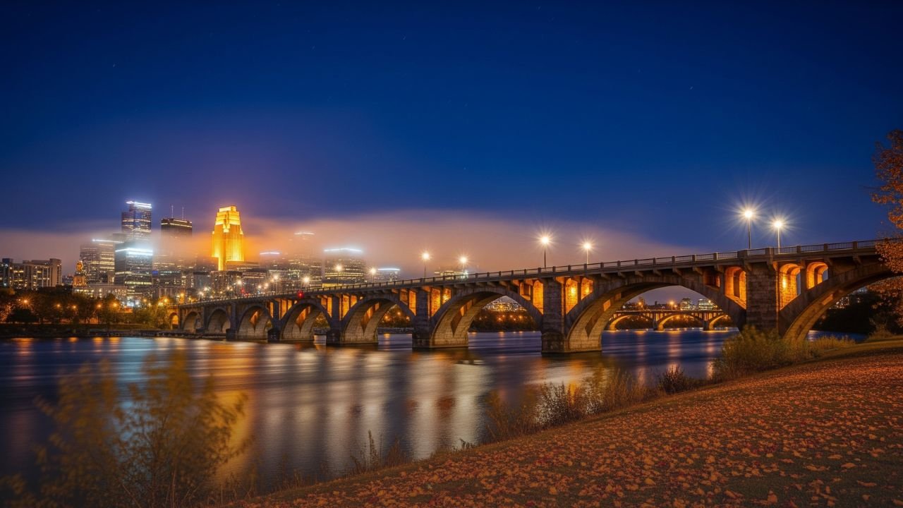
MINNEAPOLIS, MN As a strong coolness sweeps over the state this weekend, with forecasters predicting daytime highs in the 60s and overnight lows in the 40s for much of the region, Minnesota is experiencing its first true taste of autumn. With the coldest mornings forecast on Monday and Tuesday, the cooler pattern that started on Saturday is predicted to last until at least Tuesday, August 26.
Cooling Trend Hits Twin Cities and Beyond
The Twin Cities office of the National Weather Service predicts that late August temperatures will be significantly below average. While locations farther north and west, such as Alexandria, Mora, and Ladysmith, may experience temperatures as low as 42 degrees on clear early mornings, areas like Mankato, Red Wing, and Saint Cloud may experience lows in the mid-40s.
It will be a little milder, but still cooler than normal, in the Minneapolis-St. Paul metro region. By Tuesday afternoon, daytime highs are expected to barely reach 67 degrees Fahrenheit, with lows predicted to be in the upper 40s.
Impact on Residents and Outdoor Plans
Residents will notice the abrupt change as the cooling follows weeks of summer warmth.It is advised that early commuters, joggers, and campers be ready for jacket weather in the mornings. In contrast to recent weeks, outdoor nighttime events such as community meetings and high school football scrimmages will seem noticeably cooler.
Although there won’t be any frost, experts believe it serves as a warning that fall weather is approaching in the state. In the event of further alerts, residents are urged to keep abreast of forecasts, particularly in rural regions.
Five-Day Forecast for Minneapolis
What people in the Twin Cities can anticipate is as follows:
-
Friday
: High 76, Low 64 partly sunny. -
Saturday
: High 66, Low 54 cooler with evening clouds. -
Sunday
: High 63, Low 52 breezy and cool. -
Monday
: High 63, Low 47 crisp morning, sunny afternoon. -
Tuesday
: High 69, Low 44 bright skies, chilly start.
Seasonal Shift and Climate Outlook
According to meteorologists, abrupt cold bursts like this one frequently mark the start of Minnesota’s fall transition. The pattern indicates that longer nights and shorter days are already causing temperatures to drop, even if summer heat may yet return in spurts during September.
While this period of milder weather is not unprecedented, it is among the first to include persistent lows below 50 degrees for a large portion of the state. Forecasters predict that September may see more mornings with temperatures in the 40s if current patterns continue, particularly in northern and rural regions.
What Residents Should Do
-
Dress in layers
: Mornings will feel chilly, but afternoons will still be pleasant in the 60s. -
Plan ahead for outdoor events
: Evening gatherings may require jackets or blankets. -
Monitor updates
: While frost is not in the forecast now, the sudden temperature swings highlight the need to stay aware as fall approaches.
With a surge of cool air bringing crisp evenings and cool days, Minnesota’s weather is undergoing a dramatic seasonal change. Although there is now little risk of frost, the coming days will serve as a reminder to those in the Twin Cities and surrounding counties that fall is quickly approaching.


