RALEIGH, N.C.
— Tropical Storm Chantal may have weakened after landfall, but its impact was anything but minor in North Carolina, where
record rainfall totals
soaked dozens of counties and overwhelmed local infrastructure.
Chantal made landfall near
Litchfield, South Carolina
, early Sunday before veering north into the Carolinas. While the storm lost its tropical storm status and became a depression, its spiraling rain bands
unleashed torrents of water across central and northern North Carolina
, especially west of the Triangle region.
Hardest-Hit Counties See More Than 10 Inches of Rain
Counties like
Chatham, Orange, and Durham
were pummeled by rotating rain bands, leading to localized totals exceeding 10 inches in several locations.
-
Pittsboro (Chatham County)
recorded a
staggering 11.53 inches
northeast of town. -
Nearby,
Chapel Hill
saw a maximum of
10.22 inches
near its western limits. -
Hillsborough
also neared
10.5 inches
, part of a swath of Orange County that bore the brunt of the storm’s tail.
These numbers were collected via gauge readings reported to the
Community Collaborative Rain, Hail & Snow Network (CoCoRaHS)
and processed by meteorological services including the
National Weather Service
and local news affiliates.
Storm Track Brought Prolonged Rain to Central NC
According to
CBS 17
, the storm’s center moved northward across Raleigh, but the heaviest rainfall occurred
to the west of the circulation
, hitting a vertical band from Lee County up through Durham and into Person County.
This setup caused the
same areas to be hit repeatedly
, compounding rainfall and leading to
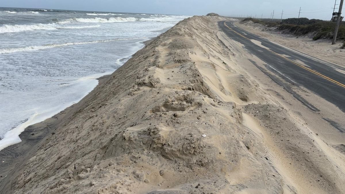
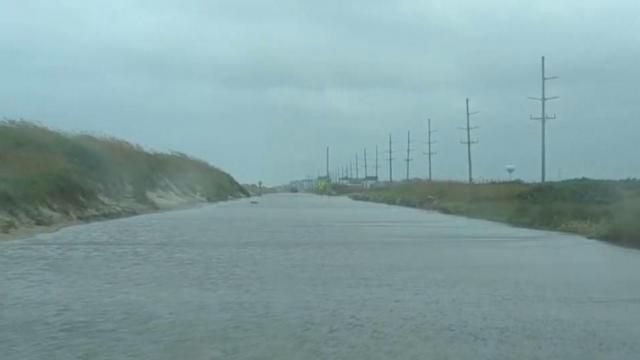
flash flooding concerns
, particularly in lower-elevation and urban zones.
County-by-County Breakdown Highlights Rain Extremes
Some of the
notable rainfall totals
reported across the state include:
Chatham County
-
Pittsboro (NE):
11.53″
-
Pittsboro (NNW):
10.35″
- Siler City: 6.5″–9.1″
- Fearrington: 8.55″
Orange County
-
Chapel Hill (multiple spots):
8.7″–10.2″
-
Hillsborough (multiple areas):
7.2″–10.5″
- Carrboro: up to 9.8″
Durham County
- Durham (NW): 8.23″
- Durham (W): 8.46″
These levels overwhelmed some roadside drainage and creek systems, though
major river flooding was avoided
due to ground saturation ahead of the storm.
Other Areas Received Moderate to Light Rainfall
While central counties faced flood risks, parts of
eastern and southern North Carolina saw significantly less rain
:
-
Fayetteville: around
2.2″
- Fort Bragg: 1.76″
-
Raleigh and Apex: most readings
under 2 inches
This uneven distribution reflects the
storm’s asymmetric structure
, with most rain stacked on its western flank.
No Major Fatalities Reported — But Flash Flood Risk Remains
Emergency officials say
no fatalities have been directly linked
to the rainfall from Chantal as of this writing, though flood advisories remain in effect in certain low-lying zones. Residents are urged to avoid
driving through flooded roads
and to monitor local alerts for updates.
Tracking the Impact: What Happens Next?
As skies begin to clear, forecasters say the system’s remnants will
push northeast out of the state
, but
residual moisture
and already-saturated ground could contribute to
pop-up storms and minor flooding
for several days.
Municipalities across the Triangle and beyond will be evaluating
road damage, drainage infrastructure, and emergency response improvements
following this unusual July deluge.
For a full list of rainfall totals by county and location, visit the
original QCNews report
.
Have you experienced flooding or storm damage in your North Carolina community? Share your story with us in the comments at SaludaStandard-Sentinel.com.